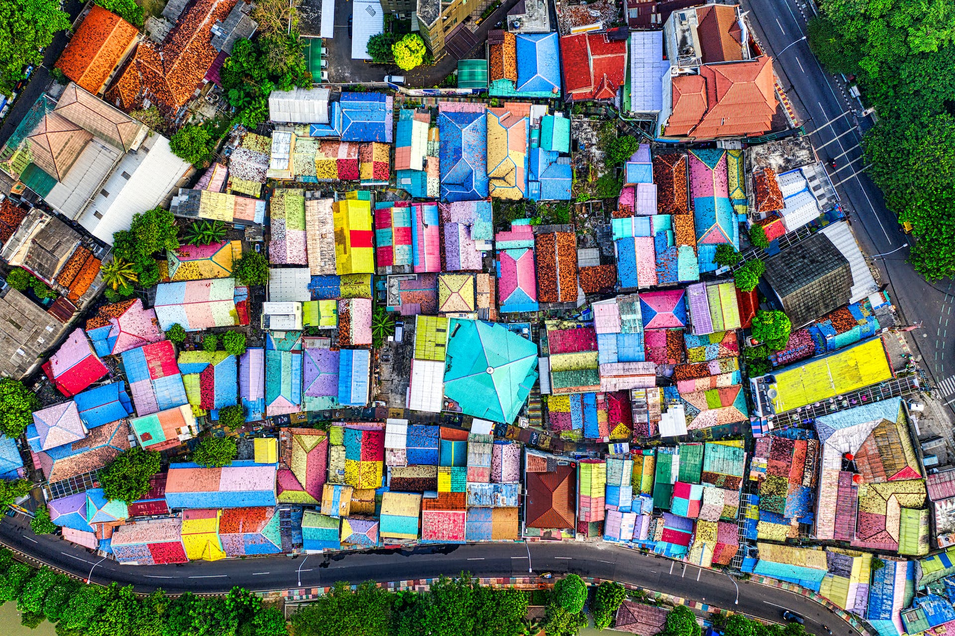
Drone mapping is the process of using drones to capture photographs of an area, which are then stitched together to create a 2D or 3D map that can be used for a number of things specially best suited for agriculturists. This map can be used for various purposes, such as surveying land, inspecting infrastructure, or even planning agricultural fields. This mapping works by using either photogrammetry or LiDAR technology.
Photogrammetry involves taking multiple, overlapping photos of the same subject, which can then be processed to create a 3D model. LiDAR involves using a laser scanner to measure the distance and shape of objects, which can then be converted into a 3D point cloud. For a drone mapping we require a good drone, a camera or a laser scanner, a mapping software or app, and a computer to process the data and create the map.
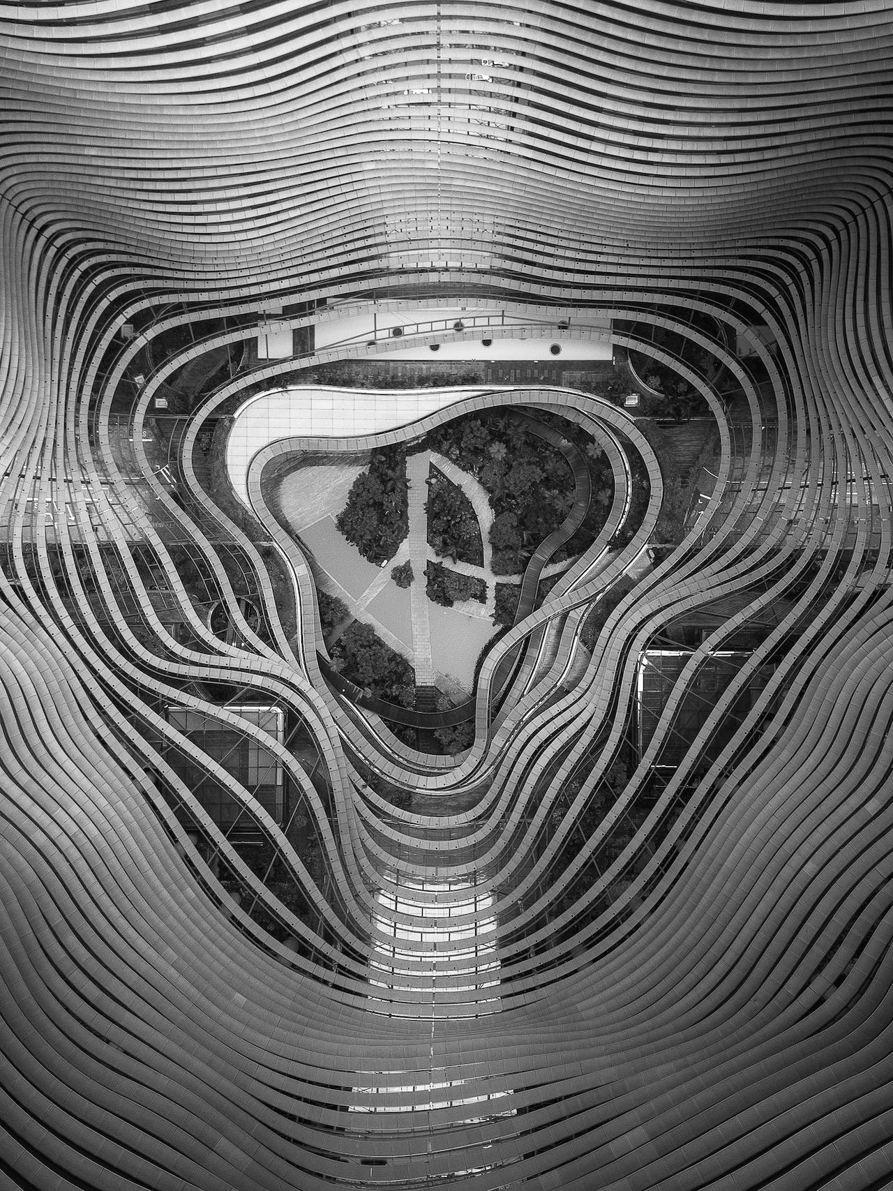
Drone mapping is a powerful and versatile tool that can be used for many applications, such as agriculture, construction, mining, archaeology, and environmental monitoring.
#1 The Process of Area Mapping Using A Drone
Mapping of an area using a drone is a process that involves capturing aerial images of the area and then processing them to create a 2D or 3D map. This map can be used for various purposes, such as surveying, planning, or monitoring. There are different methods and technologies that can be used for drone mapping, depending on the accuracy and complexity of the desired map. In this post, I will explain the basics of drone mapping and the steps involved in creating a map using a drone.
#2 Setting The Drone Up
The first step in drone mapping is to select the area that you want to map and plan the flight path of the drone. You can use a mapping software or app to define the boundaries of the area, the altitude and speed of the drone, and the overlap and sidelap of the images. Overlap and sidelap refer to the percentage of common area between adjacent images, which is important for stitching them together later. A higher overlap and sidelap will result in a more accurate map, but will also require more images and processing time. A typical value for overlap and sidelap is 80%.
#3 Check The Drone Condition Before Final Flight
The second step is to prepare the drone and the camera for the flight. You should check the battery level, the GPS signal, and the camera settings before taking off. The camera should be set to capture images at regular intervals or based on the distance traveled by the drone. You should also use a gimbal to stabilize the camera and avoid blurry images. Some drones have built-in cameras and gimbals, while others require external attachments.
#4 Make Sure The Drone Is Flying On The Right Path
The third step is to fly the drone and capture the images. You can either control the drone manually or use an automated mode that follows the predefined flight path. You should monitor the drone’s position, altitude, and battery level during the flight and make sure that it covers the entire area. You should also avoid flying in windy or cloudy conditions, as they can affect the quality of the images and the accuracy of the map.

#5 Process The Media or Photogrammetry
The fourth step is to download the images from the drone and process them using a mapping software or app. The software will use a technique called photogrammetry to stitch the images together and create a 2D or 3D map. Photogrammetry is the process of using photographs to measure distances and sizes of objects. The software will also georeference the map, which means that it will assign coordinates to each point on the map based on the GPS data from the drone. This will allow you to measure distances, areas, and volumes on the map, as well as overlay other data layers such as satellite imagery or elevation models.
#6 Using The Media
The fifth step is to analyze and share the map. You can use the mapping software or app to view the map, zoom in and out, rotate and tilt it, and add annotations and labels. You can also export the map in different formats, such as JPEG, PNG, PDF, or GeoTIFF, and share it with others. Some mapping software or apps also allow you to upload the map to a cloud platform or a web portal, where you can access it from any device and collaborate with others.
Drone mapping is a powerful and versatile tool that can be used for many applications, such as agriculture, construction, mining, archaeology, and environmental monitoring. By following these steps, you can create your own maps using a drone and explore the possibilities of this technology.
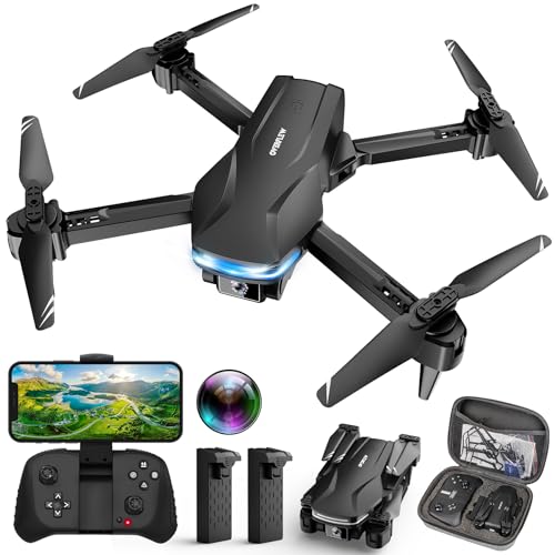
- 【Stable Hover & User Friendly】: Equipped with an optical flow positioning camera, the drone has a more stable...
- 【1080P FPV Image & Video and 90° Electric Adjustable Camera】: Our RADCLO drone is equipped with an HD 1080P...
- 【Multiple Functions Drone】: Based on the newest upgraded chip on the market, our drone has multiple interesting...
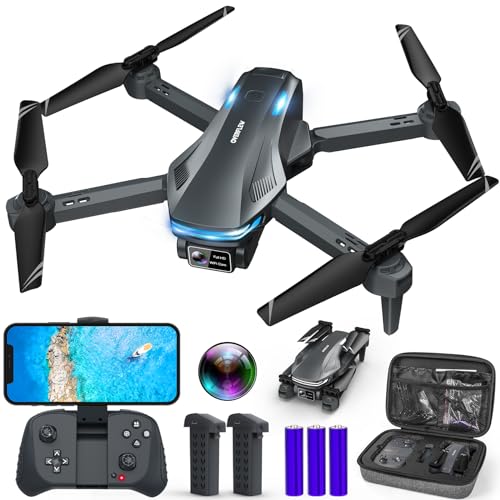
- Great Drone Toys for Beginners and Kids: JY02 Drone is an ideal choice for beginners to start their first drone...
- 1080P HD Pictures and Live Videos: Equipped with an adjustable angle 1080P HD camera, JY02 Drone can take better...
- Multiple Interesting Functions: Explore a variety of captivating features including Waypoint fly, gesture selfie,...
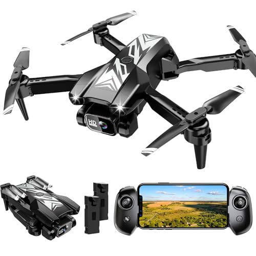
- 1080P HD Camera Adjustable FPV Drone & APP Control-- Equipped with an adjustable-angle 1080P HD camera, this drone...
- Multiple Functions for Kids Beginners--Features: optical flow positioning, barometric altitude hold, 3D flips,...
- Foldable Drone, Full Accessories, Thoughtful design-- The package includes a portable bag for convenient outdoor...
- 【User-friendly and Versatile】Loiley drones are perfect for beginners and children, offering features like...
- 【Real-time Image Transmission and HD Photography】This small drone is equipped with an HD 1080P camera to...
- 【Take it Anywhere】 Loiley drone with camera is your ultimate travel buddy! It's so compact and lightweight that...
- [ Great Drone Toys for Beginners Kids ]: X29 Drone is an ideal choice for beginners to start their first drone...
- [ 1080P HD Pictures and Live Videos ]: Equipped with an adjustable angle 1080P HD camera, X29 Drone can take better...
- [ Many Interesting Functions ]: Explore a variety of captivating features including waypoint fly, gesture selfie,...